
Bay Area Rare September Storm Forecast
Forecast and detailed analysis of the rare September storm in the Bay Area, exploring its potential impacts and implications on the region.
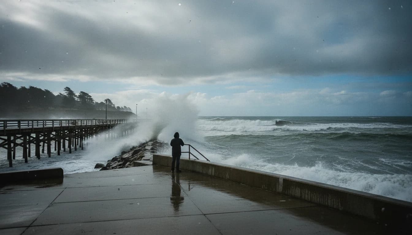
A rare early-September storm is forecast to bring measurable rainfall to parts of the Bay Area, with Santa Rosa expected to receive up to 0.25 inches and San Francisco likely to see little more than drizzle, according to the SF Chronicle forecast published September 2, 2026. (sfchronicle.com)
The Bay Area is watching a weather pattern that forecasters say is unusual for the opening days of September. The Chronicle report notes that the heaviest totals are expected well north of the Bay, with measurable rain spreading from the North Coast into inland valleys and the North Bay; by contrast, San Francisco and many urban areas may experience only light rain or drizzle, if any, as the system moves through. This distinction between heavier northern rain and lighter Bay Area totals is a key element of the current Bay Area rare September storm forecast, and it shapes how residents, businesses, and infrastructure planners prepare over the coming days. (sfchronicle.com)
What’s driving the forecast is a fast-moving low-pressure system that forecasters say will bring rain to Northern California Wednesday into Friday, with the North Coast and Santa Rosa likely to see the most precipitation. The forecast also emphasizes a cool-down for the Bay Area, with temperatures dipping into the 60s for many locations and increased clout for marine layer clouds. While not everyone in the region will experience rain, the event marks a notable shift in September weather patterns, drawing attention from both residents planning outdoor activities and technology-sector facilities managers concerned about utilities reliability and outdoor work schedules. The forecast takes shape as a reminder that the Bay Area’s climate can host bursts of wet weather even in late summer, a factor that analysts watch closely when considering water resources, wildfire risk mitigation, and climate-resilience investments. (sfchronicle.com)
The Bay Area rare September storm forecast is also visible in broader seasonal outlooks and day-by-day prognostics from national weather agencies. The Climate Prediction Center’s latest 90-day outlook and the 6–10 day prognostic discussions highlight ongoing variability in western US precipitation and temperature patterns as of early September 2026, underscoring the importance of contingency planning for local governments and critical infrastructure operators. While the CPC outlook does not specify Bay Area rainfall totals at the city level, it reinforces the relevance of mid- to long-range forecasts for regional risk assessment and emergency readiness. (cpc.ncep.noaa.gov)
Section 1: What Happened
Forecast details and timing
- The Bay Area rare September storm forecast centers on a storm system moving through Northern California from Wednesday into Friday, with the North Coast and Santa Rosa expected to bear the heaviest rainfall within the forecast window. The SF Chronicle’s September 2, 2026 report details the breakdown, noting potential rainfall totals up to 2.5 inches in Del Norte County’s mountains and up to an inch in the North Bay coastal ranges, diminishing toward the Bay Area itself. San Francisco and surrounding urban corridors are anticipated to receive little more than drizzle in many locations. The forecast highlights a sharp gradient in precipitation by geography, a hallmark of the region’s complex topography and coastal air masses. (sfchronicle.com)
Timing and daily forecast
- The Chronicle’s Wednesday-through-Friday timeline suggests rain arriving Wednesday morning along the coast and spreading inland in batches through Friday. Temperatures are expected to be cool, with daytime highs in the 60s to low 70s in many parts of the Bay Area and lingering upper-60s in some urban pockets. Forecasters emphasize that the Bay Area’s best chances for measurable rainfall lie in the North Bay and coastal ranges, while the city core may see intermittent showers or brief periods of drizzle rather than a sustained rain event. This nuanced timing matters for commuters, outdoor events, and city operations that rely on predictable weather for scheduling and safety planning. (sfchronicle.com)
Geographic scope and quantified expectations
- Santa Rosa and the Sonoma Valley are singled out for the potential of up to 0.25 inches of rain, with the North Bay coastal ranges possibly seeing up to an inch. In contrast, San Francisco and the broader Bay Area could experience little more than drizzle, with most rainfall totals tapering quickly as the system progresses inland. The article also notes that Eureka could see at least 0.50 inches if the system’s forward motion yields heavier rain there, an outcome that would mark one of the wettest openings to September in several decades. These geographic specifics help readers interpret immediacy and risk for their local area. (sfchronicle.com)
Context and corroborating signals
- While the SF Chronicle provides the clearest Bay Area-focused breakdown, other reputable outlets have reinforced the notion that September rain is unusual for the region, underscoring the broader significance of the event for climate and weather pattern awareness. The broader public-facing forecast signals that this is a notable deviation from typical Bay Area dry-season conditions, and that residents should monitor updates from meteorological agencies as the system evolves. (sfchronicle.com)
Why this happened, in plain terms
- The weather pattern driving the forecast involves an upper-level trough and moisture-laden air interacting with local topography and the marine layer. This combination can produce shower activity in the Bay Area, particularly in favored coastal and North Bay locations, while other parts of the region experience lighter, intermittent precipitation. Forecasters stress that the Bay Area’s dry-season tendencies in September do not preclude the possibility of rain, but the current setup is atypical enough to draw substantial attention from residents and decision-makers. For readers seeking scientific grounding, the CPC’s seasonal outlook discussions and the NOAA forecast products offer technical context about how large-scale patterns influence regional rainfall variability. (sfchronicle.com)
Section 2: Why It Matters
Impact on residents and daily life
- The Bay Area rare September storm forecast matters for residents planning outdoor activities, commuting, and local event scheduling. Even when rainfall totals are modest in the city, the potential for wet streets, slick conditions, and reduced visibility can affect traffic, transit reliability, and pedestrian safety. The forecast’s north-south gradient means that some neighborhoods could experience measurable rain while others see mostly dry conditions, complicating personal risk assessments and preparations. Local authorities typically respond with updated driving advisories, public transit alerts, and targeted weather warnings as needed. (sfchronicle.com)
Implications for infrastructure, energy, and business operations
- The Bay Area’s technology sector and critical infrastructure—data centers, data-path facilities, and energy networks—benefit from timely weather information that informs readiness planning. While the forecast describes modest Bay Area totals, the potential for wet conditions intersects with power reliability considerations in the region, where weather-related disruptions have historically affected transmission and distribution. Analysts and facility managers will be monitoring the forecast for updates to outage risk and mitigation needs, especially in areas where rainfall could coincide with high winds or saturated soils near infrastructure corridors. For a broader frame, national forecasts and regional discussions emphasize the value of proactive resilience planning in the face of variable September weather in the western United States. (sfchronicle.com)
Weather risk communication and decision-making
- Accurate weather communication is critical for both public safety and business continuity. The Bay Area rare September storm forecast illustrates how a single event can create a spectrum of impacts across counties and municipalities, from routine travel delays to more significant disruption in storm-prone zones. Businesses in the Bay Area that rely on outdoor operations, construction, or fleet logistics may adjust schedules, staffing, and resource allocation in anticipation of wetter conditions, while others may proceed with standard plans if the wet weather remains localized or light in their area. In this context, credible, data-driven reporting from established outlets helps stakeholders understand risk levels and act accordingly. (sfchronicle.com)
Hydrology and environmental context
- The forecast aligns with ongoing regional considerations about water resources and drought resilience, particularly as late-summer-to-early-fall weather patterns can influence reservoir inflows, groundwater recharge, and wildfire risk management. Though the Bay Area totals described in the forecast are not large enough to constitute a major rainfall event, they contribute to the broader climate narrative of how often, when, and where storms deliver meaningful precipitation in the Mediterranean climate of coastal California. Readers can cross-reference with the CPC outlook and regional forecast discussions to understand how a single storm fits into long-term hydrological planning. (cpc.ncep.noaa.gov)
Broader market and technology implications
- From a technology and market-analyst perspective, rare weather events—the Bay Area rare September storm forecast in particular—can influence insurance modeling, infrastructure resilience investments, and contingency planning for tech campuses and cloud-service providers. While this forecast does not describe a catastrophic storm, the emphasis on timing, geography, and probability helps risk managers update scenario analyses and cost projections for weather-related contingencies. Analysts also watch how public weather communication improves with new modeling techniques and data sources, which in turn shapes how businesses communicate risk to employees and customers. In short, even modest rainfall forecasts can drive strategic decisions in the technology sector when precision and timing matter for operations and safety. (sfchronicle.com)
Quotations and expert perspectives
- “The storm could deliver one of the most substantial early-September rains in decades,” the Chronicle notes, highlighting the unusual timing and potential regional impact. This assessment, drawn from forecaster discussions, signals that readers should treat the upcoming days as an adaptive period rather than a routine dry spell. As the forecast evolves, analysts will compare real-time rainfall measurements with model projections to refine risk estimates for the Bay Area. This kind of granular weather analysis is essential for urban planning and industry stakeholders who must balance preparedness with operational continuity. > The storm could deliver one of the most substantial early-September rains in decades. (sfchronicle.com)
Section 3: What’s Next
Next steps for residents and authorities
- Over the next 24–72 hours, residents should monitor updated forecasts from trusted agencies for changes in timing and expected totals. The Bay Area rare September storm forecast may shift as new data enter the models, and rainfall distribution could vary by county and watershed. City agencies are likely to issue updated travel advisories, emergency guidance for outdoor events, and reminders about rain preparedness for homes and vehicles. People living in the North Bay, Santa Rosa, and coastal zones should pay particular attention to potential localized flooding or runoff in low-lying areas and washes where drainage capacity could be tested by heavier bands of rain. (sfchronicle.com)
Monitoring the forecast: where to look
- Readers should follow updates from local outlets, the National Weather Service forecast discussions, and the Climate Prediction Center for longer-range context. The NWS Bay Area area forecast discussions and briefings provide the most immediate technical insight into evolving weather patterns, while the CPC pages offer the broader seasonal framing that informs risk assessments beyond a single storm event. For example, the latest NWS area forecast discussion and CPC outlooks can be consulted for ongoing updates and probabilistic risk assessments related to September weather. Useful primary sources include:
- NWS Area Forecast Discussion (MTR office): https://forecast.weather.gov/product.php?format=CI&glossary=1&issuedby=MTR&product=AFD&site=MTR&version=1
- CPC 6–10 Day Forecast and 90-Day Outlook: https://www.cpc.ncep.noaa.gov These primary sources provide the data underpinning the Bay Area rare September storm forecast and are essential for readers seeking the most authoritative, up-to-date information. (preview-forecast.weather.gov)
What to watch for in the coming days
- Short-term: day-by-day rainfall measurements, any flood advisories, and updates to the likelihood of measurable precipitation in San Francisco and the Bay itself.
- Medium-term: changes in the storm track, potential wind gusts near coastlines, and how quickly the system departs the region.
- Long-term: any shifts in the broader autumn/winter forecast that could influence the Bay Area’s water resources, wildfire risk, and energy resilience planning. Monitoring sources like CPC outlooks and NWS discussions will be essential to interpreting the evolving Bay Area rare September storm forecast in context. (sfchronicle.com)
Closing
The Bay Area rare September storm forecast reminds readers that weather in the region remains dynamic, even as late-summer patterns typically lean dry. Forecasters emphasize a geographic gradient in rainfall, with the heaviest totals expected in northern California and lighter totals toward the Bay Area itself. For residents and businesses, the prudent course is to stay informed, prepare for variable conditions, and adapt plans as new data arrive. By tracking credible forecasts from regional outlets, federal weather services, and climate centers, readers can navigate this unusual September event with clarity and confidence.
As the system evolves, SF Bay Area Times will continue to provide timely updates and data-driven analysis to help readers interpret the Bay Area rare September storm forecast in real time. For ongoing coverage, we will compare forecast models with measured rainfall, quantify impacts on transportation and energy networks, and contextualize how this event fits into broader climate and market trends affecting the Bay Area.
In short, the Bay Area rare September storm forecast is a reminder of the region’s meteorological complexity and its implications for the technology and business communities that power the local economy. Stay tuned for the latest forecasts, watch the skies, and plan for variable conditions that could redefine a few days of early September in the Bay Area.