
Golden Gate Dozen SF 13-Mile Cross-City Trail Debuts
SF Bay Area Times highlights the launch of the Golden Gate Dozen, a 13-mile cross-city trail connecting SF's national park sites and its impact.
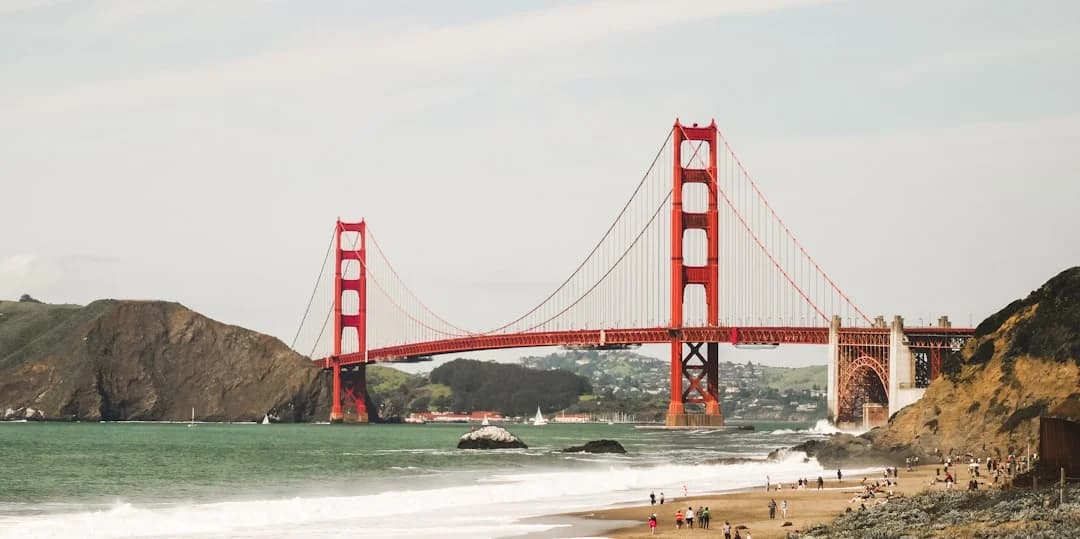
The San Francisco Bay Area is welcoming a new kind of urban exploration: the Golden Gate Dozen trail SF 13-mile cross-city national park sites. Announced in early July 2026 by the Golden Gate National Parks Conservancy, this 13-mile route stitches together twelve nationally designated park sites along the city’s waterfront and western edge, inviting residents and visitors to experience a citywide mosaic of public lands. The launch signals more than a hike or bike ride; it represents a data-informed, storytelling-forward approach to urban national parks, designed to connect people with places that are often experienced in isolation. The initiative underscores how urban parks can be leveraged to drive outdoor access, tourism, and environmental education, all within a single, continuous route that highlights San Francisco’s Bay Area identity and natural beauty. The news lands at a moment when cities are increasingly looking to blend outdoor recreation with digital mapping, community partnerships, and urban planning—an approach that aligns with broader market trends in mobility, experiential tourism, and public-land advocacy. The Golden Gate Dozen trail SF 13-mile cross-city national park sites was officially unveiled on July 1, 2026, and the first public-facing materials and turn-by-turn directions began circulating through partner channels, maps, and all-trails integrations shortly thereafter. (parksconservancy.org)
For readers of SF Bay Area Times, the story is as much about accessibility as it is about destination branding. The trail’s organizers emphasize that this route offers both a definable experience and a flexible one: hikers can complete the entire 13 miles in a long day or break it into manageable segments across multiple visits. Early coverage notes that the route weaves together Crissy Field, Lands End, Fort Point, Baker Beach, Ocean Beach, Fort Funston, and other celebrated park sites, delivering a curated lens on San Francisco’s coastlines, history, and ecology. The project also illustrates a growing trend toward digitally anchored, partner-backed trails that rely on apps like AllTrails to provide turn-by-turn directions, rather than relying solely on physical signage along a dense urban corridor. (sfchronicle.com)
Section 1: What Happened
Announcement Details
- The Golden Gate Dozen Trail was introduced by the Golden Gate National Parks Conservancy, in tandem with the Golden Gate National Recreation Area. The press release confirmed that the route connects 12 national park sites in San Francisco into a single, multi-stop experience and that the route is approximately 13 miles long. This makes it one of the city’s most ambitious urban trail projects to date, designed to showcase the breadth and depth of the National Park Service’s urban offerings in San Francisco. The collaboration with AllTrails marks a formal digital partnership to host the route on a widely used outdoor platform, enabling easier discovery, planning, and sharing. Christine Lehnertz, President & CEO of the Conservancy, highlighted the initiative as an invitation to see the city’s outdoor spaces in a new light, while David Smith, General Superintendent of the Golden Gate NRA, framed the project as a powerful connection to landscapes and histories that define the area. The press release also notes the presence of a donut-themed mascot and collectible stickers at select visitor centers as a light-hearted branding element to engage new audiences. Finally, the release provides a practical nudge: turn-by-turn directions are available through the Conservancy’s site, AllTrails, and other affiliated channels. (parksconservancy.org)
Route and Schedule
- The official description identifies Crissy Field as the northern anchor and Fort Funston as the southern terminus, with key waypoints including Presidio Tunnel Tops, Fort Point National Historic Site, Baker Beach, Lands End, Sutro Baths, Sutro Heights, and Ocean Beach along the way. The route follows a combination of existing trails, sidewalks, and park corridors rather than introducing new pathways, emphasizing a pragmatic and install-friendly approach that leverages existing public-rights-of-way. The corridor provides a cross-city, waterfront experience that blends natural coastal scenery with urban landmarks and Civil War-era fortifications, offering a unique cross-section of San Francisco’s public lands. The article in the SF Chronicle confirms the Crissy Field–Lands End–Fort Funston sequence and notes the trail’s roughly 13-mile length along a bayfront and oceanfront axis. The Axios piece reinforces the 13-mile figure and highlights the route’s digital-first navigation approach, including the lack of new physical markers at this stage. (sfchronicle.com)
Key Facts and People
- The Conservancy’s July 1, 2026 release emphasizes the route’s 13 miles, its 12-site aggregation, and its advocacy for urban access to public lands. The narrative includes a set of named stopovers and a mascot (a donut) that signals the “dozen” concept in a playful cultural touchpoint. The press release also stresses the collaboration with AllTrails and notes that dedicated stickers are available at select visitor centers along the route. The SF Chronicle reporting adds color by quoting park leadership and underscoring the trail’s role in reintroducing city residents to the wealth of park sites that dot San Francisco. The 7x7 profile published mid-July 2026 expands on the route’s practicals, including the lack of new signage and the reliance on AllTrails for route orientation, while also presenting a bite-sized breakdown of the trail’s segments. In short, the announcement is framed as both a public-facing launch and a testbed for urban trail infrastructure that blends physical access with digital guidance. (parksconservancy.org)
Section 2: Why It Matters
Impact Analysis
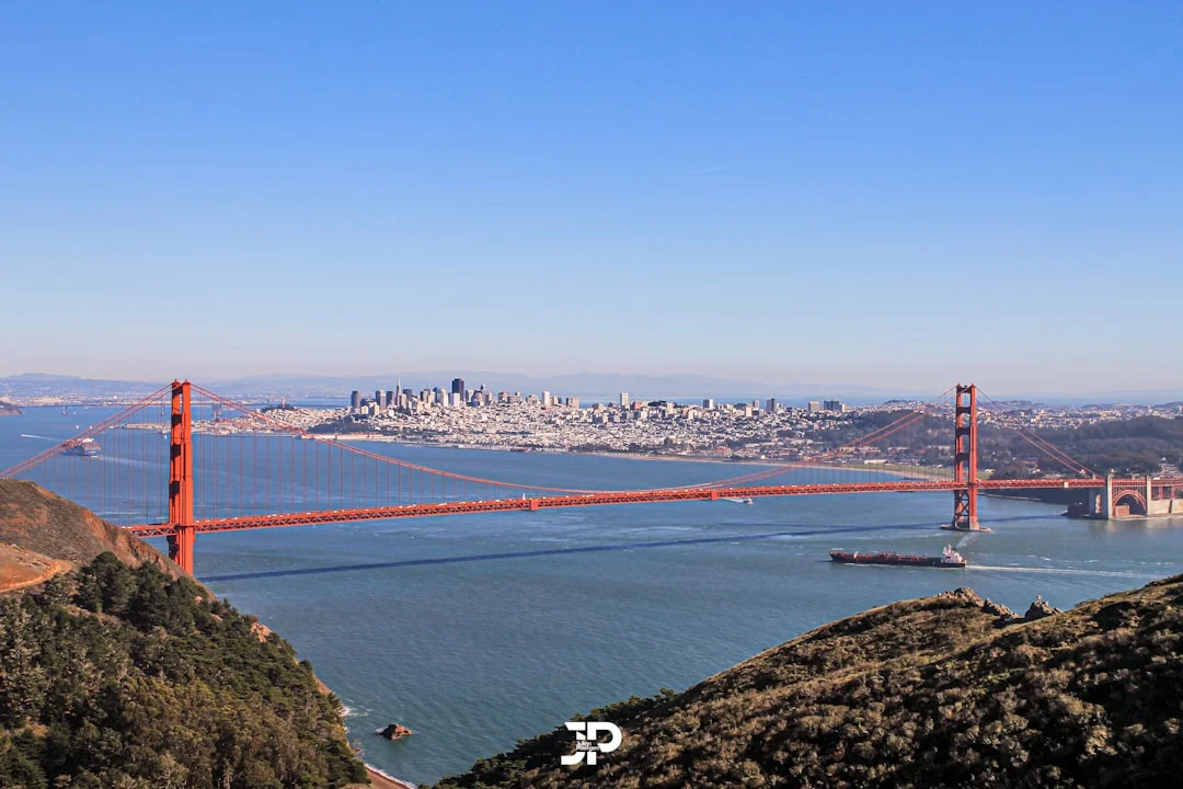
Photo by Julian Paefgen on Unsplash
- Expanding urban access to public lands is not merely a recreational perk; it is a policy signal about how cities prioritize outdoor spaces amid dense urbanity. By connecting 12 distinct park sites in a single route, the Golden Gate Dozen Trail operationalizes a citywide conservation narrative. This approach aligns with broader national and global trends toward urban outdoor experiences that are data-driven and access-oriented. From a market perspective, the trail taps into the growing demand for curated, shareable outdoor experiences that can be experienced as a day-long event or broken into micro-adventures across multiple weekends. The Conservancy’s partnership with AllTrails, a major mapping and discovery platform, indicates a deliberate strategy to leverage digital tools to reach a broader audience without incurring the full cost of physical signage along a heavily trafficked urban corridor. The coverage by Axios and the SF Chronicle demonstrates that the project is gaining attention from both local and national audiences, suggesting potential spillover benefits for tourism, local business, and community engagement with public lands. (parksconservancy.org)
Equity, Education, and Public Engagement
- Urban trails like the Golden Gate Dozen Trail serve not only residents but visitors who can gain educational value from a curated set of park sites that span military, cultural, and natural history. The route’s highlights—Presidio, Fort Point, Sutro Baths, Lands End, and Ocean Beach—offer entry points to Civil War era sites, coastal ecosystems, and historical landmarks. By promoting a single, coherent itinerary, the trail helps demystify how to navigate a city’s public land system and encourages repeat visits to less-visited sites such as Sutro Heights or the China Beach area. The park system’s emphasis on storytelling and interpretation—via the Donut mascot, stickers, and in-route narration—reflects a broader trend toward experiential learning through place-based education. This approach is concordant with national park service goals to connect people with nature and history through accessible, engaging experiences. (parksconservancy.org)
Economic and Tourism Implications
- While the press materials do not publish revenue or visitor-count forecasts, the strategic alignment with AllTrails suggests a potential uplift in outdoor recreation app engagement, increased trafficking to waterfront areas, and a longer average duration of visits to nearby attractions, cafes, and transit hubs. Urban trails of this scale can contribute to local economies by encouraging day-trippers and weekend visitors to spend time in adjacent neighborhoods, use public transit, and explore related cultural venues. These dynamics align with broader market analyses of urban outdoor recreation as a growth vector for local economies, particularly in tech-enabled markets where digital discovery and streamlined planning reduce friction to participation. The coverage by national outlets underscores a wider interest in urban outdoor projects and their potential to become enduring city assets rather than one-off installations. (axios.com)
Technical and Digital-Strategy Angles
- The Golden Gate Dozen Trail’s reliance on digital maps and turn-by-turn directions signals how modern urban trails function as hybrid experiences: physical paths augmented by mobile technology, real-time updates, and crowd-sourced information. The Conservancy’s collaboration with AllTrails—coupled with a formal route published on the Conservancy’s site—illustrates a multi-channel approach to audience reach. This approach reduces the need for heavy signage in a dense urban environment while increasing discoverability to a diverse audience, from casual walkers to serious runners and cyclists. The partnership also reflects a market trend in which parks organizations leverage private-sector platforms to extend reach, improve wayfinding, and create data-rich experiences that can inform future trail planning and maintenance. The SF Chronicle’s reporting confirms the route’s emphasis on digital orientation, which aligns with practical needs in a city where signage across a sprawling waterfront can be inconsistent. (parksconservancy.org)
Broader Context: San Francisco’s National Park Resources and Urban Trails
- The Golden Gate National Recreation Area, as one of the country’s largest urban national parks, provides a living platform for urban exploration. The route’s stops span across a spectrum of landscapes and histories, from Crissy Field’s marshes to Sutro Baths’ ruins and Lands End’s coastal bluffs, creating a narrative arc that connects maritime, military, and natural heritage. The route’s design—built on existing corridors and managed trails—respects the city’s current infrastructure while proposing a new way to experience the park system in a dense urban setting. National Park Service materials emphasize that Golden Gate NRA includes a broad network of sites and a mandate to connect people with the outdoors in an accessible, sustainable way. The Dozen Trail adds a concrete embodiment of that mission, turning abstraction into a tangible, shareable experience. (home.nps.gov)
What This Means for Readers and Stakeholders
- For residents, the trail offers a curated, high-impact way to engage with the city’s publicly protected landscapes without planning a complex itinerary. For visitors, it provides a well-packaged, photogenic pathway that captures the essence of San Francisco’s waterfront and park heritage. For policymakers and park managers, the project serves as a case study in urban public-land accessibility, digital integration, and cross-organization collaboration. For local businesses, there could be downstream effects as trail users frequent nearby amenities and transit options. The collaboration with AllTrails, in particular, signals a model for partner-driven, scalable access to urban parks that could be replicated in other cities seeking to maximize the demonstrable value of public lands in an urban context. (parksconservancy.org)
Section 3: What’s Next
Possible Extensions and Future Steps
Given the trail’s digital-first orientation and reliance on existing corridors, one natural next step could involve incremental signage or wayfinding enhancements at select points, contingent on community feedback and safety considerations. The Chronicle article notes that there are currently no new physical markers, but future sign-age updates may be contemplated as the route gains traction. This aligns with the Parks Conservancy’s history of evolving trails in partnership with public agencies, and it suggests a phased approach to infrastructure investments tied to user demand and safety data. The public-facing materials also emphasize ongoing storytelling and interpretive programming at key stops, which could expand as demand for the trail grows. (sfchronicle.com)
Another potential development area is expanded partnerships with digital platforms and local tourism organizations to amplify reach and accessibility. The Conservancy’s engagement with AllTrails positions the trail within the broader ecosystem of urban outdoor discovery, which could lead to enhanced cross-promotion with city-wide events, seasonal promotions, or targeted outreach to school groups, outdoor clubs, and cultural organizations. The 7x7 profile and Axios coverage indicate growing interest in the Dozen Trail, which could translate into more formalized programming and collaborative initiatives in the coming months. (7x7.com)
A final area of focus could be data-driven optimization of the route. As the trail attracts more users, park managers and partner organizations may collect and analyze data on usage patterns, safety incidents, and maintenance needs. This information would be valuable in refining the route, assessing the feasibility of adding optional spur routes or segments, and planning for long-term stewardship of the corridor. While the current materials emphasize the digital, map-based orientation, future iterations might incorporate real-time updates, accessibility considerations, and enhanced safety monitoring to ensure a high-quality experience for all users. The NPS and Conservancy bodies have track records of iterative improvements to urban outdoor experiences, suggesting that additional refinements are plausible as the Dozen Trail matures. (nps.gov)
Finally, the Dozen Trail could inspire complementary programming around other nearby urban parks and historic sites, enabling parallel or modular experiences that allow people to tailor their visits to a single park site or to a multi-stop route. This modular philosophy—combining core routes with optional add-ons—fits well with the city’s Crosstown Trails approach and with a broader trend toward customizable urban experiences that blend heritage interpretation with modern mobility and digital mapping. (sfchronicle.com)
Closing
The introduction of the Golden Gate Dozen Trail marks a noteworthy milestone for San Francisco’s public lands strategy and for how cities can frame outdoor experiences in the digital age. By linking a dozen nationally recognized park sites into a coherent, 13-mile journey along the bay and the coast, the project offers a new lens on urban outdoor access, heritage interpretation, and cross-agency collaboration. It also demonstrates how data-driven, partner-supported initiatives can help urban residents reconnect with public lands in concrete, meaningful ways. As the trail continues to roll out its digital maps, partner storytelling, and on-site experiences, readers can expect to see ongoing conversation about how to balance accessibility, safety, and preservation—while enjoying a trail that turns the city’s natural and historical assets into a singular, shareable adventure. For updates, the Conservancy and partner organizations will likely provide ongoing announcements, maps, and events as the Golden Gate Dozen Trail evolves in the weeks and months ahead. (parksconservancy.org)
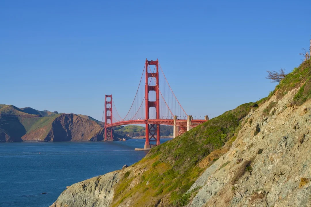
Photo by Spencer DeMera on Unsplash
In the coming weeks, readers should watch for additional coverage and practical details from trusted outlets and the Conservancy’s official channels, including turn-by-turn directions, sticker programs, and the route’s AllTrails integration. This is not merely a new route; it is a case study in urban park strategy, digital navigation, and public-private collaboration aimed at expanding access to the nation’s public lands within San Francisco’s dynamic urban landscape. As the Bay Area Times continues to monitor this development, expect deeper dives into the trail’s use patterns, its economic footprint, and its potential to inspire similar urban park integrations in other metropolitan areas. The Golden Gate Dozen Trail is more than a line on a map—it is a living invitation to explore a city’s coastal heart, one mile at a time. (parksconservancy.org)