
A New Nature Map Guides Families to San Francisco's Wild Corners
Discover the SF Nature Adventure Map, revolutionizing Bay Area outdoor exploration with 35 destinations and multilingual access for all adventurers.
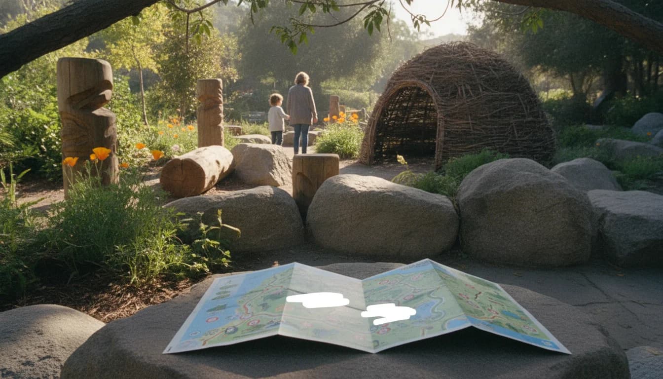
San Francisco and the broader Bay Area are witnessing a notable push to connect residents with urban nature, leveraging a new digital and physical guide designed to make discovery easier for families, students, and curious locals alike. The SF Nature Adventure Map, a free, citywide initiative, was rolled out this June and is being positioned as both a practical tool for outdoor education and a data-informed entry point for understanding how Bay Area residents interact with the natural world on a daily basis. The map’s organizers say it will help families locate parks, beaches, and nature-filled spaces close to home, while offering a structured, kid-friendly pathway to exploring the city’s ecological variety. In practical terms, the project translates into 35 designated destinations across San Francisco’s city, state, and national parks, all accessible through an online interface and reinforced by in-person touchpoints through eight pickup locations. This dual approach—digital accessibility paired with tangible, on-the-ground engagement—appears tailored to urban families seeking reliable, free resources that encourage outdoor activity while highlighting the city’s ecological narratives. The initiative aligns with ongoing efforts to broaden access to nature in dense urban environments, and it marks a concrete step in translating static maps into interactive experiences that stakeholders hope will become lifelong habits for young readers and their families. (sfgate.com)
The official rollout, as announced by the San Francisco Recreation and Park Department, is built around collaboration with a network of community partners and a public-facing celebration that helped set the tone for the project’s first phase. The interactive SF Nature Adventure Map was developed by SF Children & Nature in partnership with the SF Rec and Park Department, with input from community organizations including the Presidio Trust, Yerba Buena Gardens Conservancy, and the YMCA of Greater San Francisco. The map’s creators emphasize its accessibility and inclusivity—English, Spanish, and Chinese language options accompany the print and digital formats—while keeping the content free at the point of use. The public launch was accompanied by a June 20 celebration at Yerba Buena Gardens, an event designed to engage families through Library Day activities and to showcase the map’s potential as a learning and exploration companion. The map itself is designed to be widely accessible at eight local locations, enabling families to pick up physical copies and begin their journeys with a physical guide augmented by an online tool. This combination of hands-on, in-person access and digital support signals a deliberate attempt to lower barriers to nature exploration in a city where access to green spaces can vary widely by neighborhood. (sfgate.com)
Section 1: What Happened
Launch and Partnerships
The SF Nature Adventure Map officially entered the public sphere in early June 2026, when city officials and partner organizations announced its availability as a free, citywide resource. The Bay City News Service reporting tied the launch to the San Francisco Recreation and Park Department and highlighted that the interactive map features 35 destinations across San Francisco’s urban landscape, including parks, beaches, and nature-filled spaces. The map’s design and content were developed by SF Children & Nature in collaboration with SF Rec & Park, ensuring local relevance and community input from the outset. The project also benefited from input and support from the Presidio Trust, Yerba Buena Gardens Conservancy, and YMCA of Greater San Francisco, reflecting a broad cross-section of public and nonprofit partners dedicated to expanding access to nature for residents and visitors alike. The collaborative framework not only underscored a shared commitment to urban nature education but also established a multi-stakeholder approach that can sustain and evolve the map over time. In terms of tangible features, the launch highlighted that the map is multilingual (English, Spanish, and Chinese) and that it is supported by eight physical pickup locations where families can obtain printed copies and begin their explorations with immediate guidance. (sfgate.com)
The map’s content and design were publicly showcased through the Bay City News Service article and later reinforced by the SF Children & Nature site. The SF Children & Nature narrative makes explicit that the SF Nature Adventure Map includes 35 targeted destinations described as “well-known and hidden nature spots across San Francisco’s city, state, and national parks,” underscoring the project’s breadth and its aim to illuminate both iconic sites and lesser-known corners of the city’s natural landscape. The site also confirms that a print map is available at eight designated locations and that an accompanying online map offers additional tips and directions, emphasizing ease of use for families with varying levels of familiarity with the city’s natural spaces. The collaboration with local institutions and artists was further highlighted by notes that the map’s illustrations were created by Kaeli McLeod, which helps lend a distinct, canvas-like identity to the guide while maintaining a clear focus on practical navigation. (sfchildrennature.org)
Accessibility and Outreach
A key element of the SF Nature Adventure Map’s strategy is accessibility. The initiative makes print maps available in English, Spanish, and Chinese, ensuring language accessibility in a city with diverse linguistic communities. The eight pickup locations are spread across different neighborhoods and community hubs, enabling families to access the map without forcing long trips or complex logistics. The eight sites include a mix of community centers, libraries, and cultural spaces, reflecting an intentional design to reach families where they already are and to integrate nature exploration into existing routines and city life. In addition to in-person distribution, the map maintains a digital presence via an online map that can be accessed for routes, tips, and directions to the featured destinations. This dual approach—physical distribution complemented by a digital resource—helps ensure that families with different access needs can participate. The multilingual approach and the offline pickup option are consistent with the project’s stated aim to lower barriers to outdoor exploration and to integrate nature into everyday urban life. (sfgate.com)
Timeline and Milestones
Several explicit milestones anchor the map’s rollout. The SF Nature Adventure Map announcement came in early June 2026, with a public launch event scheduled for June 20, 2026, from 11 a.m. to 2 p.m. at Yerba Buena Gardens in conjunction with Library Day, providing a live demonstration of the map and an opportunity for families to engage with community partners. The June 20 celebration served as a concrete, time-bound milestone that helped translate the map from a briefing into a community experience. The print distribution program and the online map were designed to complement this event, reinforcing ongoing engagement beyond the initial launch. The SF Children & Nature materials indicate that the program’s sticker-based engagement runs through Labor Day (September 7, 2026), providing a clear, explicit endpoint that also creates a seasonal anchor for families to participate and to track their progress. This date-bound aspect offers a concrete cadence for readers and participants to follow as the program unfolds. Collectively, these milestones—launch, in-person launch event, ongoing distribution, and seasonal sticker program—form a coherent timeline that readers can track and understand in the context of a broader municipal effort to promote outdoor activity and nature learning. (sfgate.com)
How to Engage and Use the Map
Engagement with the SF Nature Adventure Map is designed to be straightforward and inclusive. The map encourages families to pick up a physical copy from one of the eight locations and to begin their nature adventure by visiting the mapped destinations across the city. The eight pickup sites include a spectrum of community centers and public spaces, such as Dogpatch YMCA at Crane Cove, Glen Park Recreation Center, Heron’s Head EcoCenter, the SF Public Library Richmond Branch, LeRoy King Carousel at Yerba Buena Gardens, Lands End Lookout, Presidio Field Station, and Randall Museum. The print map is accompanied by an online resource that provides direction and tips to reach each destination. The program’s FAQ emphasizes that the map is free, does not require completing all 35 adventures, and encourages families to tailor their journey to their schedules and interests. The sticker component adds a layer of gamified engagement, with incentives like a free carousel ride after collecting three stickers, and a fourth sticker enabling another reward at Yerba Buena Gardens. Importantly, the FAQ notes the year-round availability of the map and that sticker assets are specifically tied to a September 7, 2026 deadline, reinforcing the program’s seasonal rhythm and inviting families to participate at their own pace. (sfchildrennature.org)
Section 2: Why It Matters
Expanding Access to Urban Nature
The SF Nature Adventure Map is positioned as a practical mechanism to broaden access to nature in one of the most urbanized regions in the United States. The project’s structure—35 destinations across a mix of urban parks, beaches, and nature spaces—addresses the reality that the city contains pockets of ecological value well beyond traditional park boundaries. The print and online formats enable a broad audience to discover and explore these spaces, with multilingual materials designed to reduce linguistic barriers that can limit participation. The presence of 35 destinations across the city and surrounding nature spaces aligns with a broader recognition that urban nature is integral to community well-being, education, and social cohesion. This approach mirrors a growing interest in mapping urban nature experiences in ways that are navigable, inclusive, and iterative—where users can choose their routes and duration, and where the city can gather usage patterns to inform future improvements. The SF Nature Adventure Map’s emphasis on accessibility and inclusivity helps ensure that kids and families who might not normally venture into green spaces can discover them in a structured, family-friendly format. (sfchildrennature.org)
In addition, the project’s alignment with existing city and nonprofit initiatives reinforces the broader ecosystem of urban nature exploration in the Bay Area. The SF Children & Nature collaboration reflects a cross-sector approach, linking public agencies, cultural institutions, and community organizations to deliver a shared experience. This kind of networked effort is increasingly common in urban nature initiatives, where sustained impact often depends on partnerships that can scale, adapt, and reach underrepresented communities. By coordinating with the Presidio Trust, Yerba Buena Gardens Conservancy, and YMCA of Greater San Francisco, the SF Nature Adventure Map translates a simple map into a platform for ongoing learning experiences and place-based education across multiple venues and programs. (sfchildrennature.org)
Community and Educational Implications
From an educational standpoint, the SF Nature Adventure Map serves as a hands-on tool that can complement school and after-school programs. The map’s 35 destinations span neighborhoods, suggesting opportunities for field studies, nature-themed science activities, and place-based learning aligned with broader educational goals. The print map’s presence at eight local sites—ranging from community centers to libraries—also indicates a design that seeks to embed nature exploration into everyday routines, rather than requiring a special trip or event to participate. The inclusion of Kaeli McLeod’s artwork on the map contributes to an approachable aesthetic that may lower perceived barriers to nature education for younger audiences, a factor that can increase engagement and retention of information about local ecosystems, wildlife, and habitat features. While the map itself is the initial entry point, these design choices create potential pathways for educators and libraries to integrate outdoor learning modules and seasonal activities around the destinations. (sfgate.com)
Market Context and Digital Mapping Trends
The SF Nature Adventure Map can be viewed within the broader context of digital mapping and public-facing nature guidance in urban regions. The Bay Area, noted for its extensive network of trails and ecological sites, has a history of developing and refining interactive tools for residents to locate and access nature spaces. For instance, the Bay Trail Map and related interactive resources have been characterized as part of ongoing equity-focused efforts to make Bay Area trails more accessible and navigable. The existing ecosystem of trail maps and navigation aids demonstrates a market and public-policy interest in translating geographic data into practical, day-to-day use for residents and visitors. While the SF Nature Adventure Map stands as a city-specific program, it reflects a broader trend toward user-centric, multilingual, and community-informed digital resources that support outdoor participation. This alignment with regional trails and nature programs reinforces the importance of standardized, accessible geospatial information as a pillar of urban nature strategy. (abag.ca.gov)
Language Accessibility and Cultural Relevance
A central feature of the SF Nature Adventure Map is its commitment to multilingual access. By offering maps in English, Spanish, and Chinese, the program acknowledges San Francisco’s diverse linguistic landscape and aims to remove barriers that may otherwise limit participation in outdoor activities. This multilingual approach is consistent with a broader set of city initiatives intended to reach a wide audience, including families who may rely on community organizations and public libraries as touchpoints for information and engagement. The emphasis on language accessibility—paired with clear in-person pickup locations and an online resource—supports a more inclusive approach to urban nature exploration and education, aligning with data-driven strategies that seek to maximize reach and impact across diverse communities. (sfgate.com)
The Role of Partnerships in Execution
The map’s success to date is tied not only to its design but also to the strength of its partnerships. The collaboration with the Presidio Trust, Yerba Buena Gardens Conservancy, and YMCA of Greater San Francisco brings a breadth of local knowledge, resources, and networks that can sustain the project beyond its initial launch. When public agencies partner with nonprofit organizations and cultural institutions, they create a more resilient framework for delivering educational programs, coordinating events, and expanding access to nature. The inclusion of an artist in the map’s development—a local designer who contributed to the map’s visuals—also highlights how creative and cultural components can strengthen engagement, making the map more approachable for families and children. Looking ahead, the ongoing collaboration among these partners will be a critical factor in determining how the SF Nature Adventure Map evolves—whether it expands its set of destinations, adds new languages, or introduces complementary activities and digital features. (sfchildrennature.org)
Section 3: What’s Next
Next Steps for the SF Nature Adventure Map
In the near term, the program’s formal milestones include continuing to distribute print maps at eight locations and enabling access to an online map that augments on-site exploration with navigational tips and destination-specific information. The program’s FAQ confirms that the map is free, that participation does not require completing all 35 adventures, and that families can tailor the experience to their schedules and interests. The sticker mechanic adds a structured, trackable dimension to participation, with incentives that encourage families to visit multiple sites and to engage with community spaces such as Yerba Buena Gardens. The FAQ also notes the year-round availability of the program, with sticker distribution extending through Labor Day, September 7, 2026. For readers and families, this creates a clear, actionable path: pick up a map, select a subset of the 35 destinations, collect stickers, and participate in community events and opportunities tied to the city’s public spaces. As city and nonprofit partners monitor uptake and feedback, updates to the program—such as additional locations or future expansion of languages—could follow based on demonstrated need and community interest. (sfchildrennature.org)
What to Watch For: Potential Developments and Signals
Given the explicit emphasis on accessibility, community partnerships, and a clear educational mission, several monitorable signals could indicate how the SF Nature Adventure Map will mature over time. First, continued engagement with libraries and community centers could expand distribution channels, potentially broadening the map’s reach to neighborhoods not currently served by the eight pickup sites. Second, the ongoing relationship with partner organizations such as the Presidio Trust and Yerba Buena Gardens Conservancy could yield location-specific programs, guided walks, or school partnerships that weave the map into structured learning experiences. Third, the multilingual component may evolve to include additional languages if demand emerges from communities not currently reached by the three-language offering. While no specific expansion plan is detailed in the provided materials, these potential developments align with the program’s established collaborative framework and public-facing accessibility goals. (sfchildrennature.org)
Conclusion
The SF Nature Adventure Map represents a concrete, data-informed effort to integrate nature into daily urban life in the Bay Area. By combining a printed, multilingual destination guide with an online navigational tool, and by linking city agencies with nonprofit partners and local cultural institutions, the initiative creates a replicable model for urban nature education. The project’s focus on 35 destinations across San Francisco’s city, state, and national parks—together with eight distribution points and a summer-to-fall sticker program—offers families a structured yet flexible pathway to explore nature close to home. As the city continues to monitor participation and feedback, the SF Nature Adventure Map may serve as a template for similar programs in other metropolitan areas seeking to translate environmental education into everyday experiences. The collaboration among government, nonprofits, and community organizations signals a broader commitment to making urban nature accessible, educational, and enjoyable for readers, students, and families across the Bay Area. Readers can stay informed through official channels, including SF Children & Nature and the San Francisco Recreation and Park Department, as the program evolves beyond its initial launch phase. (sfgate.com)